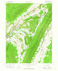
1963 Map of Frankstown
USGS Topo · Published 1965About this map
The Frankstown Branch Pennsylvania Junita River snakes through a valley flanked by the steep ridges of Brush Mountain and Lock Mountain. This early 1960s landscape is defined by the intersection of mountain terrain and intensive extractive industry, with several claypits, a quarry, and a gravel pit located near the established settlements of Frankstown and Hollidaysburg. A prominent old railroad grade traces the path of Canoe Creek through Turkey Valley, illustrating the historic transportation corridors that once served this region's mines and mills.
Find a feature on this map
43 named features on this map. Tap any name to fly to it.
Don’t see what you’re looking for? This feature index may not catch every label — zoom into the map to look around manually.
Map Details
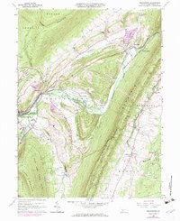
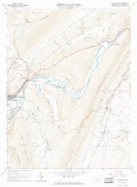
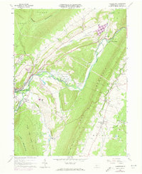
Editions of this 1963 Frankstown Map
4 editions found
Other maps of this area

1901 · Huntingdon
USGS Topo · 1:62,500

1902 · Hollidaysburg
USGS Topo · 1:62,500

1903 · Hollidaysburg
USGS Topo · 1:62,500

1904 · Huntingdon
USGS Topo · 1:62,500

1920 · Altoona
USGS Topo · 1:62,500

1922 · Altoona
USGS Topo · 1:62,500

1923 · Tyrone
USGS Topo · 1:62,500

1929 · Tyrone
USGS Topo · 1:48,000

1933 · Tyrone
USGS Topo · 1:62,500

1946 · Tyrone
USGS Topo · 1:62,500
Featured Places
- Frankstown Township, PA
- Hollidaysburg, PA
- Upper Reese, Frankstown Township
- Royer, Woodbury Township
- Logan Township, PA