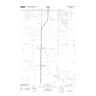
2013 Map of Franksville
USGS Topo · Published 2013About this map
Franksville and its neighboring crossroads communities define this agricultural and suburban landscape south of Milwaukee during the early 2010s. The map illustrates a transition between established rural settlements like Thompsonville and Kilbournville and the modern residential developments such as Out On A Limb Acres. This area is heavily defined by its drainage and water management systems, including the Root River, the Root River Canal, and the East Br Root River Canal, which cut across the grid of numbered roads. Recreational spaces like the Oakwood Golf Course and Oak Hills Golf Course occupy significant tracts near Oakwood, reflecting the area's land use evolution. To the east, the community of Husher sits near Husher Cr, maintaining a distinct identity within the broader pattern of rectangular land divisions and arterial routes like Northwestern Ave and W Ryan Rd.
Find a feature on this map
85 named features on this map. Tap any name to fly to it.
Don’t see what you’re looking for? This feature index may not catch every label — zoom into the map to look around manually.
Map Details
Editions of this 2013 Franksville Map
This is the sole edition of this map. No revisions or reprints were ever made.
Other maps of this area

1891 · Bayview
USGS Topo · 1:62,500

1891 · Muskego
USGS Topo · 1:62,500

1892 · Racine
USGS Topo · 1:62,500

1893 · Silver Lake
USGS Topo · 1:62,500

1901 · Bayview
USGS Topo · 1:62,500

1901 · Muskego
USGS Topo · 1:62,500

1905 · Racine
USGS Topo · 1:62,500

1906 · Silver Lake
USGS Topo · 1:62,500

1954 · Rockford
USGS Topo · 1:250,000

1955 · Rockford
USGS Topo · 1:250,000