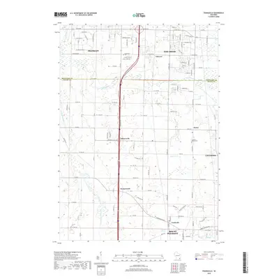
2018 Map of Franksville
USGS Topo · Published 2018About this map
Franklin and Oak Creek anchor the northern reaches of this Wisconsin landscape where the Milwaukee and Racine County lines meet. The terrain is defined by a network of waterways, including the Root River and the Root River Canal, which carve through a mix of established residential corridors and more open land. Smaller communities such as Kilbournville, Thompsonville, and Husher are distributed along the primary north-south arteries, reflecting the historic pattern of crossroad settlements in this region.
Find a feature on this map
118 named features on this map. Tap any name to fly to it.
Don’t see what you’re looking for? This feature index may not catch every label — zoom into the map to look around manually.
Map Details
Editions of this 2018 Franksville Map
This is the sole edition of this map. No revisions or reprints were ever made.
Other maps of this area

1891 · Bayview
USGS Topo · 1:62,500

1891 · Muskego
USGS Topo · 1:62,500

1892 · Racine
USGS Topo · 1:62,500

1893 · Silver Lake
USGS Topo · 1:62,500

1901 · Bayview
USGS Topo · 1:62,500

1901 · Muskego
USGS Topo · 1:62,500

1905 · Racine
USGS Topo · 1:62,500

1906 · Silver Lake
USGS Topo · 1:62,500

1954 · Rockford
USGS Topo · 1:250,000

1955 · Rockford
USGS Topo · 1:250,000