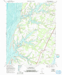
1968 Map of Franktown
USGS Topo · Published 1992About this map
The complex shoreline of the Chesapeake Bay defines this part of Northampton County, where the land is carved into numerous necks and coves by tidal waters. The topography reflects a maritime economy tied to both the water and the Penn Central rail line that runs inland through Machipongo and Birdsnest. Several historic religious sites are documented, including Hungars Ch near Bridgetown and Bethel Ch further north, alongside the Weirwood Fairgrounds.
Find a feature on this map
64 named features on this map. Tap any name to fly to it.
Don’t see what you’re looking for? This feature index may not catch every label — zoom into the map to look around manually.
Map Details
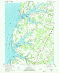
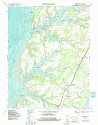
Editions of this 1968 Franktown Map
Other maps of this area

1942 · Cheriton
USGS Topo · 1:24,000

1942 · Cobb Island
USGS Topo · 1:24,000

1942 · Nassawadox
USGS Topo · 1:24,000

1943 · Nassawadox
USGS Topo · 1:31,680

1943 · Jamesville
USGS Topo · 1:31,680

1943 · Franktown
USGS Topo · 1:31,680

1943 · Exmore
USGS Topo · 1:24,000

1943 · Richmond
USGS Topo · 1:250,000

1944 · Exmore
USGS Topo · 1:31,680

1946 · Eastville
USGS Topo · 1:250,000