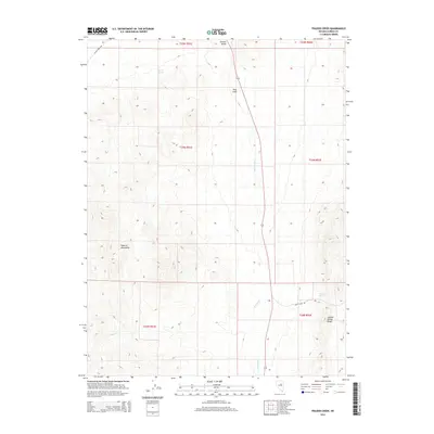
2014 Map of Frazier Creek
USGS Topo · Published 2014About this map
Garden Valley dominates the central corridor of this Nevada landscape, framed by the high elevations of the Roberts Mountains to the west and the Sulphur Spring Range to the southeast. This 2014 survey captures a sparsely populated region of Eureka County defined by high-desert hydrology and cattle-country infrastructure. Water sources such as Rabbit Spring and McCloud Spring provide essential points of reference in an arid environment where drainage is dictated by Frazier Cr and Henderson Cr. The settlement at Pine Field sits along Highway 278, which serves as the primary north-south artery. The map also documents local transit routes through the high passes, including Bailey Pass Rd and the Alpha Tonein Rd, reflecting the remote connectivity required in the Great Basin's basin-and-range topography.
Find a feature on this map
17 named features on this map. Tap any name to fly to it.
Don’t see what you’re looking for? This feature index may not catch every label — zoom into the map to look around manually.
Map Details
Editions of this 2014 Frazier Creek Map
This is the sole edition of this map. No revisions or reprints were ever made.
Other maps of this area

1926 · Roberts Mountains
USGS Topo · 1:250,000

1929 · Roberts Mountains
USGS Topo · 1:250,000

1937 · Mineral Hill
USGS Topo · 1:48,000

1943 · Mineral Hill
USGS Topo · 1:62,500

1949 · Garden Valley
USGS Topo · 1:62,500

1949 · Roberts Creek Mtn
USGS Topo · 1:62,500

1951 · Roberts Creek Mtn
USGS Topo · 1:62,500

1951 · Garden Valley
USGS Topo · 1:62,500

1955 · Millett
USGS Topo · 1:250,000

1955 · Winnemucca
USGS Topo · 1:250,000