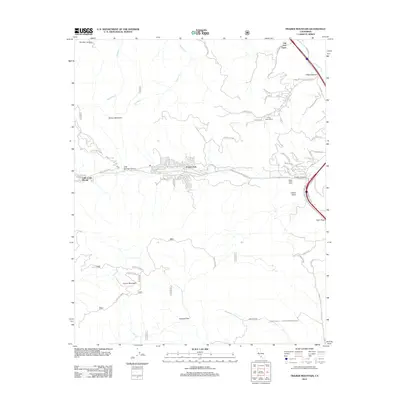
2012 Map of Frazier Mountain
USGS Topo · Published 2012About this map
Old Fort Tejon stands as a landmark of nineteenth-century military and frontier history, marking the northern approach to the critical mountain crossing at Tejon Pass. This 2012 survey documents the residential and agricultural development concentrated in the high valleys, particularly in Frazier Park and Lake of the Woods. These mountain communities are connected by a network of winding roads like Frazier Mountain Park RD and Tecuya Mtn RD, which navigate the steep elevations of Tecuya Mountain and Frazier Mountain.
Find a feature on this map
66 named features on this map. Tap any name to fly to it.
Don’t see what you’re looking for? This feature index may not catch every label — zoom into the map to look around manually.
Map Details
Editions of this 2012 Frazier Mountain Map
This is the sole edition of this map. No revisions or reprints were ever made.
Other maps of this area

1903 · Mt. Pinos
USGS Topo · 1:125,000

1903 · Tejon
USGS Topo · 1:125,000

1933 · Gorman
USGS Topo · 1:24,000

1938 · Gorman
USGS Topo · 1:24,000

1942 · Tecuya Creek
USGS Topo · 1:24,000

1942 · Frazier Mountain
USGS Topo · 1:24,000

1943 · Cuddy Valley
USGS Topo · 1:24,000

1943 · Lockwood Valley
USGS Topo · 1:24,000
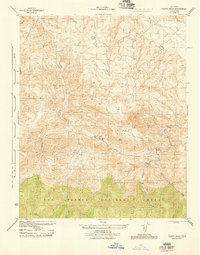
1944 · Pleito Hills
USGS Topo · 1:31,680
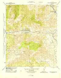
1944 · Frazier Mountain
USGS Topo · 1:31,680