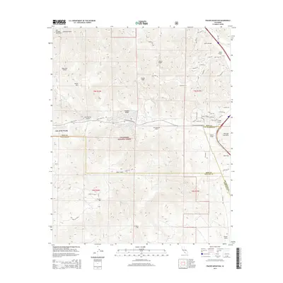
2015 Map of Frazier Mountain
USGS Topo · Published 2015About this map
Frazier Park and Lake of the Woods anchor this mountain landscape at the intersection of Kern, Ventura, and Los Angeles counties. The map captures a high-elevation corridor within the Los Padres National Forest, where the complex geology of the San Andreas Fault cuts through the terrain. To the south, Frazier Mtn rises above Arrastra Flat, while the northern reaches are dominated by the Tecuya Mtn and the Tecuya Ridge. Transport and topography are closely linked here, as Tejon Pass provides a critical mountain crossing near the Tehachapi Mountains. This 2015 survey details the modern road network, from the winding Frazier Mountain Park Rd to the forest routes like Forest Rte 8N24 that navigate the canyons of the San Emigdio Mountains.
Find a feature on this map
58 named features on this map. Tap any name to fly to it.
Don’t see what you’re looking for? This feature index may not catch every label — zoom into the map to look around manually.
Map Details
Editions of this 2015 Frazier Mountain Map
This is the sole edition of this map. No revisions or reprints were ever made.
Other maps of this area

1903 · Mt. Pinos
USGS Topo · 1:125,000

1903 · Tejon
USGS Topo · 1:125,000

1933 · Gorman
USGS Topo · 1:24,000

1938 · Gorman
USGS Topo · 1:24,000

1942 · Tecuya Creek
USGS Topo · 1:24,000

1942 · Frazier Mountain
USGS Topo · 1:24,000

1943 · Cuddy Valley
USGS Topo · 1:24,000

1943 · Lockwood Valley
USGS Topo · 1:24,000
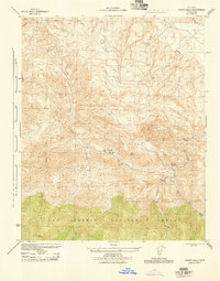
1944 · Pleito Hills
USGS Topo · 1:31,680
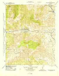
1944 · Frazier Mountain
USGS Topo · 1:31,680