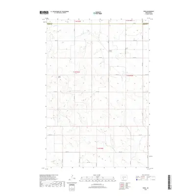
2018 Map of Freda
USGS Topo · Published 2018About this map
Freda sits as a quiet settlement on the high plains of Grant County, marking a landscape defined by geometric section lines and scattered water features. The terrain is dominated by the Three Buttes landform in the west, while the intermittent path of Dogtooth Cr winds through the northern sections, cutting across the Morton Co and Grant Co line. Local history is anchored at the Bethesda Cem, a notable landmark along the grid of section roads like 74th St SW. The area's character is shaped by the Public Land Survey System, with township boundaries such as t133n r84w and t134n r84w providing the structural framework for the rural ranching and farming tracts that have persisted into the modern era.
Find a feature on this map
19 named features on this map. Tap any name to fly to it.
Don’t see what you’re looking for? This feature index may not catch every label — zoom into the map to look around manually.
Map Details
Editions of this 2018 Freda Map
This is the sole edition of this map. No revisions or reprints were ever made.
Other maps of this area

1954 · Bismarck
USGS Topo · 1:250,000

1958 · Bismarck
USGS Topo · 1:250,000

1971 · Shields
USGS Topo · 1:24,000

1971 · Porcupine
USGS Topo · 1:24,000

1971 · Timmer
USGS Topo · 1:24,000

1980 · Freda
USGS Topo · 1:24,000

1980 · Burgess
USGS Topo · 1:24,000

1980 · Bell Coulee East
USGS Topo · 1:24,000

1980 · Dogtooth Buttes
USGS Topo · 1:24,000

1980 · Raleigh
USGS Topo · 1:24,000