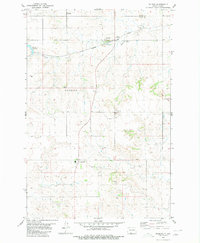
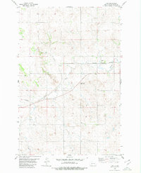
1980 Map of Raleigh
USGS Topo · Published 1980About this map
Raleigh serves as the focal point of this 1980 survey, situated along the path of the Chicago Milwaukee St Paul and Pacific railroad. The town's local character is defined by functional landmarks like the Rodeo Ground and Storage Bins, while the nearby Raleigh Reservoir and Dogtooth Creek provide essential water resources for the high plains of Grant County. To the north, the small settlement of Lark sits on the Morton County line, illustrating the sparse but deliberate distribution of rail-towns in this era.
Find a feature on this map
15 named features on this map. Tap any name to fly to it.
Don’t see what you’re looking for? This feature index may not catch every label — zoom into the map to look around manually.
Map Details
Editions of this 1980 Raleigh Map
This is the sole edition of this map. No revisions or reprints were ever made.
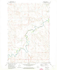
Other maps of this area

1954 · Bismarck
USGS Topo · 1:250,000

1958 · Bismarck
USGS Topo · 1:250,000
1971 · Shields
USGS Topo · 1:24,000
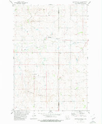
1980 · Brisbane
USGS Topo · 1:24,000
1980 · Bell Coulee West
USGS Topo · 1:24,000
1980 · Freda
USGS Topo · 1:24,000
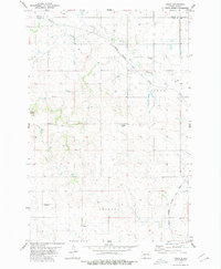
1980 · Lark
USGS Topo · 1:24,000
1980 · Bell Coulee East
USGS Topo · 1:24,000
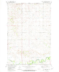
1980 · Dogtooth Buttes
USGS Topo · 1:24,000

1980 · Elgin
USGS Topo · 1:100,000