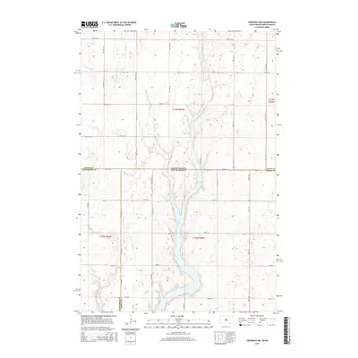
2015 Map of Frederick NW
USGS Topo · Published 2015About this map
Elm Lake and the meandering Elm River dominate this borderland landscape, where the prairie of North Dakota meets South Dakota. The terrain is defined by glacial potholes and the carved path of Webber Gulch, which drains toward the central river valley. This 2015 survey illustrates a strictly organized rural grid system, punctuated by section lines and local routes such as W Elm Lake Dr and 104th St. The intersection of multiple county lines, including Dickey and McPherson counties, highlights the administrative complexity of this sparsely settled region. This map provides a clear record of the hydrography and agricultural divisions in the Dakotas during the early 21st century.
Find a feature on this map
22 named features on this map. Tap any name to fly to it.
Don’t see what you’re looking for? This feature index may not catch every label — zoom into the map to look around manually.
Map Details
Editions of this 2015 Frederick NW Map
This is the sole edition of this map. No revisions or reprints were ever made.
Other maps of this area

1894 · Monango
USGS Topo · 1:62,500

1894 · Ellendale
USGS Topo · 1:62,500

1896 · Edgeley
USGS Topo · 1:125,000

1899 · Ellendale
USGS Topo · 1:125,000

1925 · Edgeley
USGS Topo · 1:125,000

1953 · Jamestown
USGS Topo · 1:250,000

1953 · Frederick
USGS Topo · 1:24,000

1953 · Ellendale South
USGS Topo · 1:24,000

1954 · Aberdeen
USGS Topo · 1:250,000

1956 · Aberdeen
USGS Topo · 1:250,000