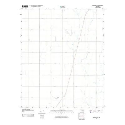
2010 Map of Frederick SE
USGS Topo · Published 2010About this map
Davidson Cemetery sits at the heart of this Tillman County landscape, where the agricultural traditions of southwestern Oklahoma are clearly marked by the presence of the Red River Gin. This 2010 survey illustrates a highly structured rural grid, defined by a network of local roads including E1830 Rd and N2160 Rd that partition the prairie into precise sections. The natural drainage of the region is traced by the winding paths of Suttle Creek and Bottle Creek, which offer a stark contrast to the rigid geometry of the surrounding section-line roads. The map provides a clear look at the intersection of industry and community, centered around the gin and the local burial ground, serving as a reliable primary source for understanding the modern distribution of land and landmarks in this corner of the state.
Find a feature on this map
19 named features on this map. Tap any name to fly to it.
Don’t see what you’re looking for? This feature index may not catch every label — zoom into the map to look around manually.
Map Details
Editions of this 2010 Frederick SE Map
This is the sole edition of this map. No revisions or reprints were ever made.
Other maps of this area

1955 · Lawton
USGS Topo · 1:250,000

1958 · Davidson
USGS Topo · 1:62,500

1958 · Frederick
USGS Topo · 1:62,500

1958 · Electra
USGS Topo · 1:62,500

1974 · Hollister NW
USGS Topo · 1:24,000

1974 · Hackberry Flat
USGS Topo · 1:24,000

1975 · Frederick NE
USGS Topo · 1:24,000

1975 · Frederick SW
USGS Topo · 1:24,000

1975 · Frederick NW
USGS Topo · 1:24,000

1975 · Frederick SE
USGS Topo · 1:24,000