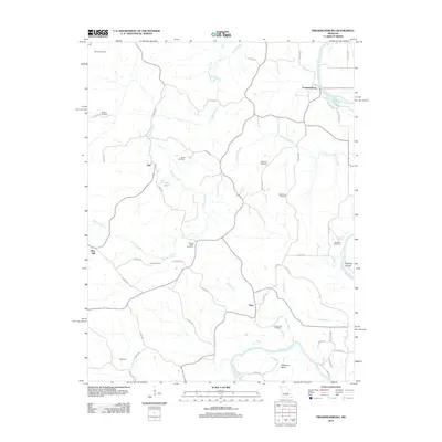
2012 Map of Fredericksburg
USGS Topo · Published 2012About this map
The Gasconade River winds through this rural portion of Osage County, defining a landscape of deep river bends and secluded valleys. Near Heckman Bend, the river creates a complex hydrology that includes Koelling Islands and the entry of Mud Creek. The settlement pattern is characterized by small, dispersed communities such as Fredericksburg, Aud, Hope, and Welcome, which are linked by an extensive network of county roads.
Find a feature on this map
53 named features on this map. Tap any name to fly to it.
Don’t see what you’re looking for? This feature index may not catch every label — zoom into the map to look around manually.
Map Details
Editions of this 2012 Fredericksburg Map
This is the sole edition of this map. No revisions or reprints were ever made.
Other maps of this area

1890 · Fulton
USGS Topo · 1:125,000

1934 · Linn
USGS Topo · 1:48,000

1934 · Bland
USGS Topo · 1:62,500

1935 · Morrison
USGS Topo · 1:48,000

1937 · Bland
USGS Topo · 1:62,500

1942 · Linn
USGS Topo · 1:62,500

1942 · Morrison
USGS Topo · 1:62,500

1945 · Mokane
USGS Topo · 1:62,500

1945 · Morrison
USGS Topo · 1:62,500

1945 · Linn
USGS Topo · 1:62,500