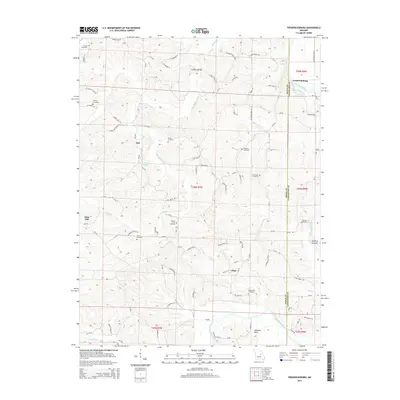
2015 Map of Fredericksburg
USGS Topo · Published 2015About this map
Fredericksburg and the winding course of the Gasconade River define the eastern edge of this landscape, where the river meets Richland Cr near the Heckman Bend. The terrain is deeply carved by drainage systems including Baileys Creek and Hope Cr, creating a complex network of ridges and hollows that historically dictated settlement patterns. Small communities like Aud, Mint Hill, and Hope are connected by a web of county roads and named lanes, such as Stolpe Bottom Rd and Old Ferry Rd. For genealogists, the map is remarkably dense with family-named burial sites, including the Wilhoit Cemetery, Harris Cemetery, and Plattners Cemetery. The presence of the Koelling Islands in the river and the secluded Lake Isabell further illustrate the water-driven geography of this rural Missouri region.
Find a feature on this map
96 named features on this map. Tap any name to fly to it.
Don’t see what you’re looking for? This feature index may not catch every label — zoom into the map to look around manually.
Map Details
Editions of this 2015 Fredericksburg Map
This is the sole edition of this map. No revisions or reprints were ever made.
Other maps of this area

1890 · Fulton
USGS Topo · 1:125,000

1934 · Linn
USGS Topo · 1:48,000

1934 · Bland
USGS Topo · 1:62,500

1935 · Morrison
USGS Topo · 1:48,000

1937 · Bland
USGS Topo · 1:62,500

1942 · Linn
USGS Topo · 1:62,500

1942 · Morrison
USGS Topo · 1:62,500

1945 · Mokane
USGS Topo · 1:62,500

1945 · Morrison
USGS Topo · 1:62,500

1945 · Linn
USGS Topo · 1:62,500