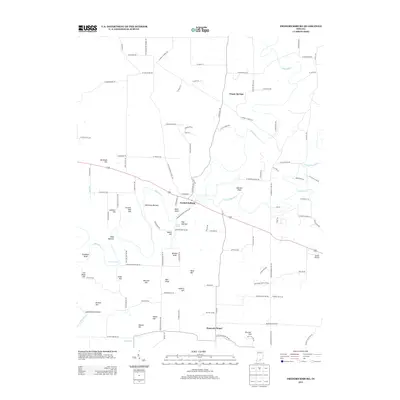
2013 Map of Fredericksburg
USGS Topo · Published 2013About this map
The Blue River snakes through this portion of Washington County, defining a landscape of low-lying bottoms and named knobs. The settlement of Fredericksburg sits at a strategic crossing, while smaller communities like Organ Springs and Hancock Chapel anchor the surrounding rural road network. The terrain is marked by distinctive local landmarks, from the Warehouse Riffle on the river to the elevation of Wildcat Knob. Near the center of the quadrangle, Kay Bottom Spring provides a notable hydrologic feature within the fertile Whittman Bottom. The area's aviation history is represented by Jacobi Airport on the eastern edge of the survey. Numerous family-named topographic features, such as Greene Mill Hill, McIntosh Hill, and Brunner Hill, suggest a deep-rooted history of land ownership and local identification with the undulating physical geography of the Mitchell Plain.
Find a feature on this map
114 named features on this map. Tap any name to fly to it.
Don’t see what you’re looking for? This feature index may not catch every label — zoom into the map to look around manually.
Map Details
Editions of this 2013 Fredericksburg Map
This is the sole edition of this map. No revisions or reprints were ever made.
Other maps of this area

1946 · Depauw
USGS Topo · 1:24,000

1947 · Hardinsburg
USGS Topo · 1:24,000

1948 · Milltown
USGS Topo · 1:24,000

1949 · Hardinsburg
USGS Topo · 1:24,000

1950 · Salem
USGS Topo · 1:24,000

1950 · Becks Mill
USGS Topo · 1:24,000

1950 · Palmyra
USGS Topo · 1:24,000

1953 · Fredericksburg
USGS Topo · 1:24,000
1954 · Crandall
USGS Topo · 1:24,000

1956 · Vincennes
USGS Topo · 1:250,000