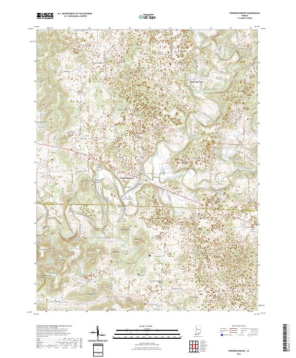
2022 Map of Fredericksburg
USGS Topo · Published 2022About this map
The Blue River winds through this section of Southern Indiana, shaping a landscape of named bottoms and prominent elevations. The town of Fredericksburg sits at a focal point near Blice Point and Kay Bottom, where the river's path is mirrored by surrounding landforms like Moore Hill and Wildcat Knob. Further north, the Mitchell Plain represents a distinct physiographic region, while the eastern portion of the sheet is drained by the South Fork Blue River and Licking Cr.
Find a feature on this map
119 named features on this map. Tap any name to fly to it.
Don’t see what you’re looking for? This feature index may not catch every label — zoom into the map to look around manually.
Map Details
Editions of this 2022 Fredericksburg Map
This is the sole edition of this map. No revisions or reprints were ever made.
Other maps of this area

1946 · Depauw
USGS Topo · 1:24,000

1947 · Hardinsburg
USGS Topo · 1:24,000

1948 · Milltown
USGS Topo · 1:24,000

1949 · Hardinsburg
USGS Topo · 1:24,000

1950 · Salem
USGS Topo · 1:24,000

1950 · Becks Mill
USGS Topo · 1:24,000

1950 · Palmyra
USGS Topo · 1:24,000

1953 · Fredericksburg
USGS Topo · 1:24,000
1954 · Crandall
USGS Topo · 1:24,000

1956 · Vincennes
USGS Topo · 1:250,000