Loading...
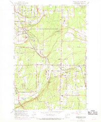
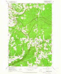
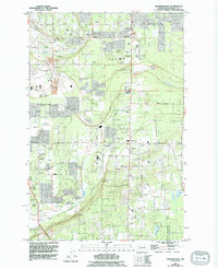
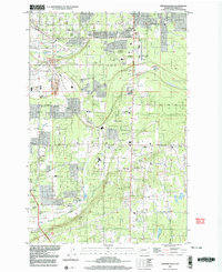
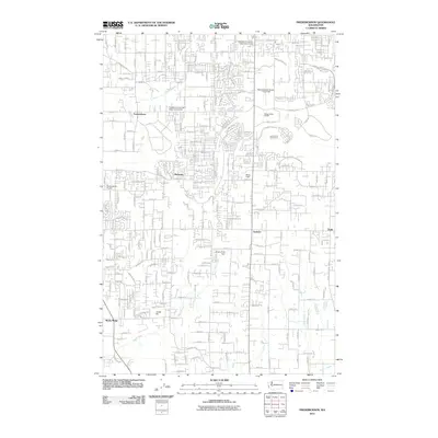
Loading map...1959 Map of Frederickson
USGS Topo · Published 1969About this map
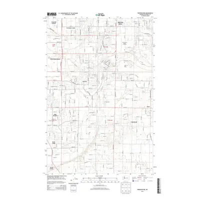
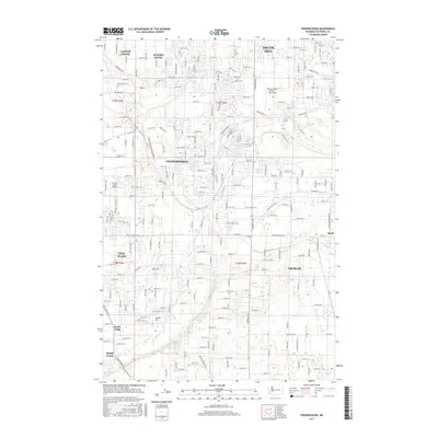
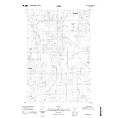
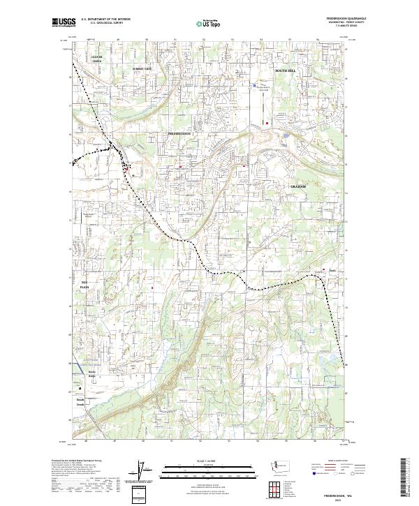
Frederickson and Graham serve as central points in this mid-century portrait of Pierce County, where timber, agriculture, and military interests converge. The landscape is defined by the tracks of the C M St P & P railroad and the Chicago Milwaukee St Paul and Pacific, which supported regional industrial sites like the Chemical Works and various gravel pits. The eastern edge of the Ft Lewis Mil Res touches the territory near Rocky Ridge, illustrating the significant military presence in the Puget Sound area during the late 1950s.
Find a feature on this map
43 named features on this map. Tap any name to fly to it.
Don’t see what you’re looking for? This feature index may not catch every label — zoom into the map to look around manually.
Map Details
Date Portrayed1959
Date Published1969
PublisherU.S. Geological Survey
Map TypeTopographic
Scale1:24,000
Physical Dimensions22 x 26.8 inches
Editions of this 1959 Frederickson Map
3 editions found
Historical Maps of South Hill Through Time
7 maps found
Featured Locations
Source Details
SourceU.S. Geological Survey
CopyrightPublic Domain