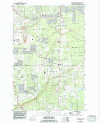
1959 Map of Frederickson
USGS Topo · Published 1994About this map
Frederickson and Graham anchor this landscape during a period of transition from rural Pierce County to a more developed suburban and aviation-oriented hub. The map highlights the significant presence of aviation and outdoor recreation, featuring Pierce County Thun Field, a Landing Strip, and the Tacoma Sportsmens Club alongside multiple rifle and skeet ranges. This area, largely defined by the sprawling Ft Lewis Mil Res on its western boundary, maintains a strong local character through its network of country schools like Pope Sch and Kapowsin Sch, and churches such as Bethany Ch and Immanuel Ch. The natural drainage is defined by Clover Creek and South Creek, with the prominent Rocky Ridge providing a rare topographic break in the prairie-dominated terrain. This 1959 survey, updated through the early 1990s, documents the intersection of military land use, early industrial gravel mining, and the expanding residential corridors along 224th Street East.
Find a feature on this map
45 named features on this map. Tap any name to fly to it.
Don’t see what you’re looking for? This feature index may not catch every label — zoom into the map to look around manually.
Map Details
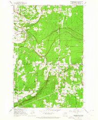
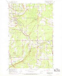
Editions of this 1959 Frederickson Map
3 editions found
Other maps of this area

1897 · Tacoma
USGS Topo · 1:125,000

1900 · Tacoma
USGS Topo · 1:125,000

1937 · Eatonville
USGS Topo · 1:125,000

1941 · Tanwax Lake
USGS Topo · 1:62,500

1941 · Tacoma South
USGS Topo · 1:62,500

1942 · Lake Tapps
USGS Topo · 1:62,500

1944 · Lake Tapps
USGS Topo · 1:62,500

1944 · Tacoma South
USGS Topo · 1:62,500

1944 · Ohop Valley
USGS Topo · 1:62,500

1949 · Ohop Valley
USGS Topo · 1:62,500