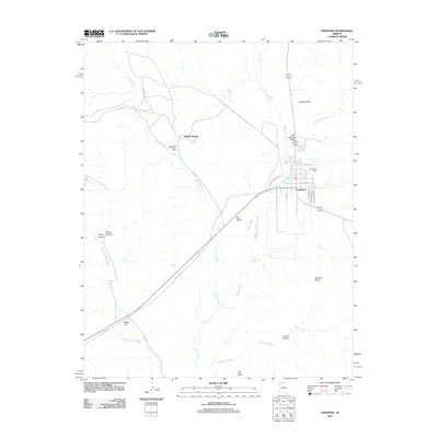
2011 Map of Fredonia
USGS Topo · Published 2011About this map
Fredonia serves as the primary hub in this arid landscape near the northern border, where the residential grid is defined by streets like Jensen St and Maurice Ave. The town is positioned near the banks of Kanab Creek, with the Fredonia Dam located just to the east. The surrounding terrain is a complex of canyons and flats, where water is a critical but intermittent resource, appearing at Cottonwood Spring, Sixmile Spring, and Riggs Spring.
Find a feature on this map
31 named features on this map. Tap any name to fly to it.
Don’t see what you’re looking for? This feature index may not catch every label — zoom into the map to look around manually.
Map Details
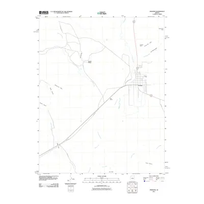
Editions of this 2011 Fredonia Map
2 editions found
Other maps of this area

1886 · Kanab
USGS Topo · 1:250,000

1886 · Kaibab
USGS Topo · 1:250,000

1953 · Cedar City
USGS Topo · 1:250,000

1953 · Grand Canyon
USGS Topo · 1:250,000

1954 · Kanab SW
USGS Topo · 1:24,000

1954 · Fredonia NW
USGS Topo · 1:24,000

1954 · Kanab SE
USGS Topo · 1:24,000

1954 · Shinarump NW
USGS Topo · 1:24,000

1954 · Fredonia SW
USGS Topo · 1:24,000

1954 · Johnson SW
USGS Topo · 1:24,000