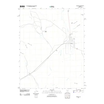
2011 Map of Fredonia
USGS Topo · Published 2011About this map
Fredonia serves as the primary settlement on this Arizona landscape, situated along the banks of Kanab Creek and shadowed by the prominent Shinarump Cliffs to the east. The town’s relationship with water is evident through features like Fredonia Dam and the network of desert drainages including Lost Spring Wash and Johnson Wash. To the west, Sixmile Village sits near Sixmile Gap, where Cottonwood Rd and 6 Mile Rd navigate the transition between the valley floor and the surrounding high ground.
Find a feature on this map
25 named features on this map. Tap any name to fly to it.
Don’t see what you’re looking for? This feature index may not catch every label — zoom into the map to look around manually.
Map Details
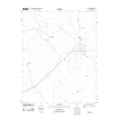
Editions of this 2011 Fredonia Map
2 editions found
Other maps of this area

1886 · Kanab
USGS Topo · 1:250,000

1886 · Kaibab
USGS Topo · 1:250,000

1953 · Cedar City
USGS Topo · 1:250,000

1953 · Grand Canyon
USGS Topo · 1:250,000

1954 · Kanab SW
USGS Topo · 1:24,000

1954 · Fredonia NW
USGS Topo · 1:24,000

1954 · Kanab SE
USGS Topo · 1:24,000

1954 · Shinarump NW
USGS Topo · 1:24,000

1954 · Fredonia SW
USGS Topo · 1:24,000

1954 · Johnson SW
USGS Topo · 1:24,000