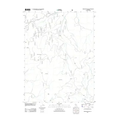
2012 Map of Fredonyer Pass
USGS Topo · Published 2012About this map
Fredonyer Pass serves as a key high-altitude corridor through the rugged Lassen County landscape, anchoring a network of watercourses and forest roads. The terrain is defined by a series of prominent summits, including Hamilton Mountain, Coyote Peak, and Indicator Peak, which separate the various drainages of the Willard Creek system. The headwaters of W Fork Willard Cr and E Fork Willard Cr converge near Stephens Ranch, illustrating the sparse but vital human footprint in this mountainous region. Toward the southern extent of the map, the landscape shifts toward the high valleys near Cairn Butte and Mountain Meadows Cr, accessed by remote routes such as the Skyline Mtwy and Moonlight Valley Rd. This 2012 survey by the U.S. Geological Survey captures the specialized geography of the northern Sierra Nevada-Cascade transition, where land use is primarily defined by recreation at Fredonyer Campground and historic ranching outposts.
Find a feature on this map
70 named features on this map. Tap any name to fly to it.
Don’t see what you’re looking for? This feature index may not catch every label — zoom into the map to look around manually.
Map Details
Editions of this 2012 Fredonyer Pass Map
This is the sole edition of this map. No revisions or reprints were ever made.
Other maps of this area

1886 · Honey Lake
USGS Topo · 1:250,000

1891 · Honey Lake
USGS Topo · 1:250,000

1893 · Honey Lake
USGS Topo · 1:250,000

1950 · Kettle Rock
USGS Topo · 1:62,500

1950 · Greenville
USGS Topo · 1:62,500

1954 · Susanville
USGS Topo · 1:62,500

1955 · Westwood
USGS Topo · 1:62,500

1955 · Westwood
USGS Topo · 1:250,000

1958 · Westwood
USGS Topo · 1:250,000

1959 · Westwood
USGS Topo · 1:250,000