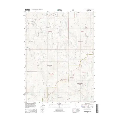
2015 Map of Fredonyer Pass
USGS Topo · Published 2015About this map
Fredonyer Pass serves as a critical point of navigation in this high-elevation landscape, where the Lassen National Forest meets the Plumas National Forest. The map documents a complex network of forest access routes, including the Lowe Motor Way and the Skyline Mtwy, which traverse steep slopes between prominent landmarks like Hamilton Mtn and Indicator Peak. The drainage patterns are defined by numerous seasonal and permanent waterways, notably Mountain Meadows Cr and the various branches of Willard Creek, illustrating the watershed's role in the regional geography. This survey provides a detailed look at the 2015 infrastructure of the Sierran and Cascade transition, capturing the exact placement of service roads like the Indicator Loop and the Hamilton Loop used for resource management and fire access across the county line between Lassen and Plumas.
Find a feature on this map
35 named features on this map. Tap any name to fly to it.
Don’t see what you’re looking for? This feature index may not catch every label — zoom into the map to look around manually.
Map Details
Editions of this 2015 Fredonyer Pass Map
This is the sole edition of this map. No revisions or reprints were ever made.
Other maps of this area

1886 · Honey Lake
USGS Topo · 1:250,000

1891 · Honey Lake
USGS Topo · 1:250,000

1893 · Honey Lake
USGS Topo · 1:250,000

1950 · Kettle Rock
USGS Topo · 1:62,500

1950 · Greenville
USGS Topo · 1:62,500

1954 · Susanville
USGS Topo · 1:62,500

1955 · Westwood
USGS Topo · 1:62,500

1955 · Westwood
USGS Topo · 1:250,000

1958 · Westwood
USGS Topo · 1:250,000

1959 · Westwood
USGS Topo · 1:250,000