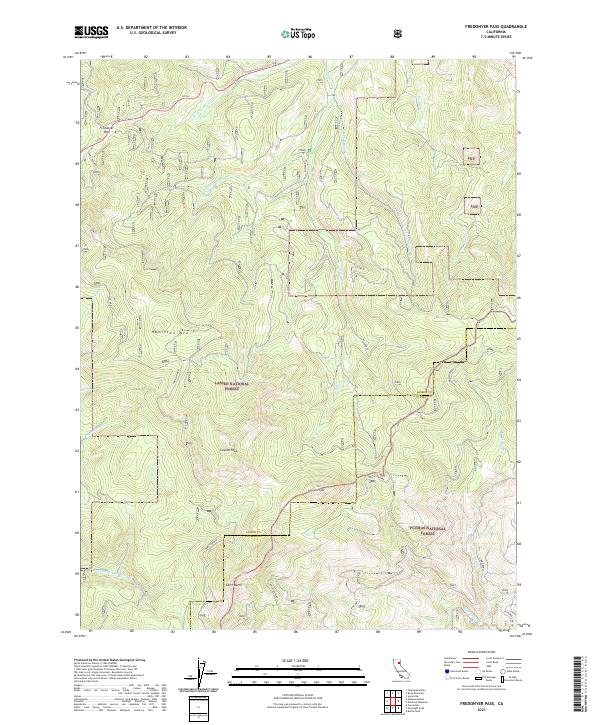
2021 Map of Fredonyer Pass
USGS Topo · Published 2021About this map
Fredonyer Pass serves as a critical high-altitude corridor for Ca 36 in this modern survey of the Sierra Nevada's northern reaches. The landscape is defined by the high-elevation divide between the Lassen National Forest and the Plumas National Forest, where the border between Lassen and Plumas counties cuts through the terrain. A complex network of drainage basins radiates from prominent peaks such as Hamilton Mtn and Coyote Peak, feeding numerous named waterways including Roxie Peconom Cr and the multiple forks of Willard Cr. The topography reveals the intricate water-shedding patterns of the region, from Mountain Meadows Cr in the southwest to the headwaters of Lights Cr in the southeast. These named peaks and creeks illustrate the geographic transition and the essential role this pass plays in navigating the high country.
Find a feature on this map
24 named features on this map. Tap any name to fly to it.
Don’t see what you’re looking for? This feature index may not catch every label — zoom into the map to look around manually.
Map Details
Editions of this 2021 Fredonyer Pass Map
This is the sole edition of this map. No revisions or reprints were ever made.
Other maps of this area

1886 · Honey Lake
USGS Topo · 1:250,000

1891 · Honey Lake
USGS Topo · 1:250,000

1893 · Honey Lake
USGS Topo · 1:250,000

1950 · Kettle Rock
USGS Topo · 1:62,500

1950 · Greenville
USGS Topo · 1:62,500

1954 · Susanville
USGS Topo · 1:62,500

1955 · Westwood
USGS Topo · 1:62,500

1955 · Westwood
USGS Topo · 1:250,000

1958 · Westwood
USGS Topo · 1:250,000

1959 · Westwood
USGS Topo · 1:250,000