
1954 Map of Fredonyer Peak
USGS Topo · Published 1956About this map
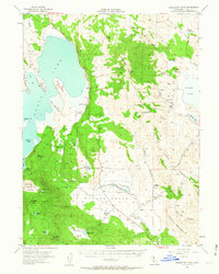
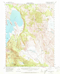
Eagle Lake dominates the western edge of this High Sierra landscape, where the shoreline meets notable landmarks like Rocky Pt and Buck Point. The 1950s terrain is defined by its transition from the deep water of the lake to the high elevations of Fredonyer Peak and Tunnison Mountain. Settlers and ranchers established their operations in the fertile pockets between these heights, evidenced by the Five Dot Ranch in the Willow Creek Valley and the smaller Stone Ranch and Woods Ranch further north.
Find a feature on this map
49 named features on this map. Tap any name to fly to it.
Don’t see what you’re looking for? This feature index may not catch every label — zoom into the map to look around manually.
Map Details
Editions of this 1954 Fredonyer Peak Map
3 editions found
Other maps of this area

1886 · Honey Lake
USGS Topo · 1:250,000

1891 · Honey Lake
USGS Topo · 1:250,000

1893 · Honey Lake
USGS Topo · 1:250,000

1954 · Susanville
USGS Topo · 1:62,500

1954 · Litchfield
USGS Topo · 1:62,500

1954 · Karlo
USGS Topo · 1:62,500

1954 · Grasshopper Valley
USGS Topo · 1:62,500

1954 · Ravendale
USGS Topo · 1:62,500

1955 · Westwood
USGS Topo · 1:62,500

1955 · Westwood
USGS Topo · 1:250,000