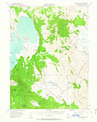
1954 Map of Fredonyer Peak
USGS Topo · Published 1963About this map
Eagle Lake dominates this mid-century survey of northeastern California, showing a landscape defined by ranching and water management. Settled areas are marked by established family operations such as Five Dot Ranch, Stone Ranch, and Woods Ranch, which managed livestock across the high basin terrain. The hydrology of the area is particularly detailed, featuring an extensive network of artificial improvements including a Tunnel south of Miners Point, a long Flume, and multiple Levees lining the drainages of Willow Creek Valley.
Find a feature on this map
58 named features on this map. Tap any name to fly to it.
Don’t see what you’re looking for? This feature index may not catch every label — zoom into the map to look around manually.
Map Details
Editions of this 1954 Fredonyer Peak Map
3 editions found
Other maps of this area

1886 · Honey Lake
USGS Topo · 1:250,000

1891 · Honey Lake
USGS Topo · 1:250,000

1893 · Honey Lake
USGS Topo · 1:250,000

1954 · Susanville
USGS Topo · 1:62,500

1954 · Litchfield
USGS Topo · 1:62,500

1954 · Karlo
USGS Topo · 1:62,500

1954 · Grasshopper Valley
USGS Topo · 1:62,500

1954 · Ravendale
USGS Topo · 1:62,500

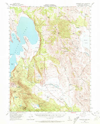
1954 · Fredonyer Peak
USGS Topo · 1:62,500

1955 · Westwood
USGS Topo · 1:62,500