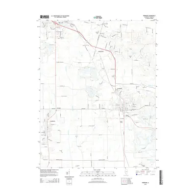
2015 Map of Freeburg
USGS Topo · Published 2015About this map
Richland Creek and its many tributaries, including Sugar Creek and Kinney Branch, define the topography south of Belleville. The landscape is dotted with small settlements like Freeburg, Wilderman, and Smithton, each serving as a hub for the surrounding agricultural community. The map reveals a dense concentration of burial grounds, such as the Green Mount Catholic Cemetery and B'nai Israel Cemetery, which speak to the diverse heritage of the region's early residents.
Find a feature on this map
97 named features on this map. Tap any name to fly to it.
Don’t see what you’re looking for? This feature index may not catch every label — zoom into the map to look around manually.
Map Details
Editions of this 2015 Freeburg Map
This is the sole edition of this map. No revisions or reprints were ever made.
Other maps of this area

1888 · St. Louis
USGS Topo · 1:62,500

1907 · Belleville
USGS Topo · 1:62,500

1910 · Waterloo
USGS Topo · 1:62,500

1912 · New Athens
USGS Topo · 1:62,500

1913 · Waterloo
USGS Topo · 1:62,500

1931 · French Village
USGS Topo · 1:24,000

1935 · Lebanon
USGS Topo · 1:24,000

1935 · French Village
USGS Topo · 1:24,000

1937 · O'Fallon
USGS Topo · 1:24,000

1949 · Saint Louis
USGS Topo · 1:250,000