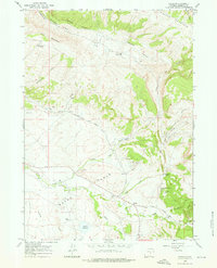
1960 Map of Freeland
USGS Topo · Published 1976About this map
Bates Hole and the foothills of Casper Mountain dominate this mid-century topographic record of Natrona County ranching country. The map documents a dispersed community centered around the Freeland Community Building, the Freeland Sch, and the Freeland Cem. The landscape is a network of named drainages like Little Red Creek and Stinking Creek, where family legacies are marked by labels such as McGraugh Ranch, Schnoor Ranch, and Martin Ranch.
Find a feature on this map
37 named features on this map. Tap any name to fly to it.
Don’t see what you’re looking for? This feature index may not catch every label — zoom into the map to look around manually.
Map Details
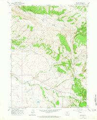
Editions of this 1960 Freeland Map
2 editions found
Other maps of this area

1950 · Emigrant Gap
USGS Topo · 1:24,000

1950 · Goose Egg
USGS Topo · 1:24,000

1950 · Alcova SE
USGS Topo · 1:24,000

1951 · Casper
USGS Topo · 1:24,000

1951 · Bessemer Mountain
USGS Topo · 1:24,000

1955 · Casper
USGS Topo · 1:250,000

1958 · Casper
USGS Topo · 1:250,000
1960 · Emigrant Gap
USGS Topo · 1:24,000

1960 · Twin Buttes
USGS Topo · 1:24,000

1960 · Crimson Dawn
USGS Topo · 1:24,000