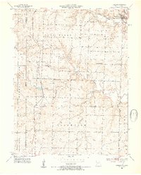
1953 Map of Freeman
USGS Topo · Published 1954About this map
Freeman and the surrounding borderlands of the Missouri-Kansas line define this mid-century landscape. The area is heavily influenced by the Kansas City Southern railroad, which passes through the village of Lisle as it heads south. The rural character of the region is evident in the dense network of small local schools, including Glendale Sch, Dodge Point Sch, and Van Meter Sch, which once served the scattered farmsteads of the West Dolan and Coldwater districts. Waterways like Missouri Kansas Creek and Coldwater Creek carve through the terrain, while the local economy shows early signs of resource extraction with a marked Gas Well and several Gravel Pits. For genealogists, the map provides precise locations for landmarks like Shiloh Chapel and the Freeman Cem.
Find a feature on this map
25 named features on this map. Tap any name to fly to it.
Don’t see what you’re looking for? This feature index may not catch every label — zoom into the map to look around manually.
Map Details
Editions of this 1953 Freeman Map
4 editions found
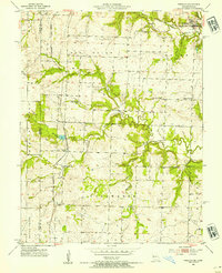
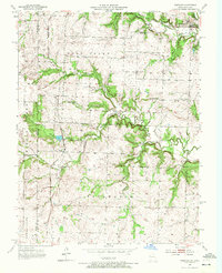
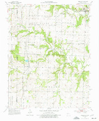
Other maps of this area

1887 · Harrisonville
USGS Topo · 1:125,000

1887 · Olathe
USGS Topo · 1:125,000

1887 · Butler
USGS Topo · 1:125,000

1887 · Mound City
USGS Topo · 1:125,000

1892 · Harrisonville
USGS Topo · 1:125,000

1893 · Mound City
USGS Topo · 1:125,000

1893 · Olathe
USGS Topo · 1:125,000

1894 · Harrisonville
USGS Topo · 1:125,000

1894 · Butler
USGS Topo · 1:125,000

1947 · Lawrence
USGS Topo · 1:250,000