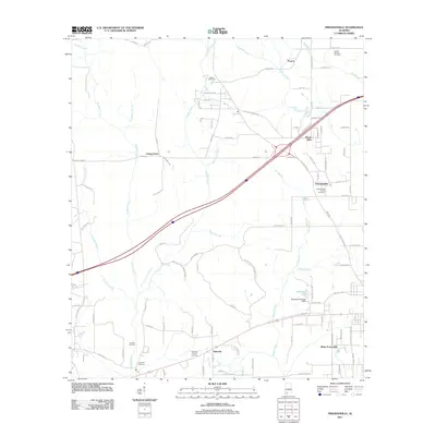
2011 Map of Freemanville
USGS Topo · Published 2011About this map
Poarch and the surrounding Escambia County landscape are defined by a network of rural settlements and family-named infrastructure in the early 21st century. The geography is primarily structured around the drainages of Perdido Creek and Brushy Creek, which feed into the Perdido River at the map's southern edge. This area is a critical location for local genealogy, preserving numerous burial sites such as the Poarch Mission Cemetery, Judson Cemetery, and the Sullivan Cemetery. Industrial and agricultural activity is evident through the presence of the Perdido Oil Field and Ewing Farms, while water management is represented by the Marshall Patterson Dam on Patterson Lake. The settlement patterns at Freemanville and Nokomis show the continued importance of community hubs centered around local roads and churches.
Find a feature on this map
101 named features on this map. Tap any name to fly to it.
Don’t see what you’re looking for? This feature index may not catch every label — zoom into the map to look around manually.
Map Details
Editions of this 2011 Freemanville Map
This is the sole edition of this map. No revisions or reprints were ever made.
Other maps of this area

1941 · Century
USGS Topo · 1:62,500

1942 · Perdido
USGS Topo · 1:62,500

1942 · Dyas
USGS Topo · 1:62,500

1943 · Century
USGS Topo · 1:62,500

1944 · Dyas
USGS Topo · 1:62,500

1944 · Perdido
USGS Topo · 1:62,500

1953 · Andalusia
USGS Topo · 1:250,000

1957 · Andalusia
USGS Topo · 1:250,000

1957 · Pensacola
USGS Topo · 1:250,000

1959 · Pensacola
USGS Topo · 1:250,000