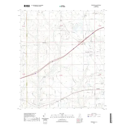
2020 Map of Freemanville
USGS Topo · Published 2020About this map
Atmore and the surrounding Escambia County landscape are defined by a complex network of creeks and small settlements in this 2020 study. The northern portion of the map highlights the community of Poarch, home to the Judson Indian Cem and Poarch Mission Cem, reflecting the area's deep tribal heritage and local lineage. Moving south through Freemanville and toward Nokomis, the geography is shaped by the winding paths of the Perdido River and its tributaries like Perdido Cr and Rocky Br. These waterways cut through a transition of agricultural tracts and residential pockets, including Ewing Farms. Cultural and family history sites are well-preserved in the record, with numerous church cemeteries such as Freemanville Church Cem and Sullivan Cem scattered across the township lines. Transportation corridors and rural aviation, represented by the Sturdy Oak Farm Airport, further illustrate the modern spatial organization of this Alabama-Florida borderland region.
Find a feature on this map
108 named features on this map. Tap any name to fly to it.
Don’t see what you’re looking for? This feature index may not catch every label — zoom into the map to look around manually.
Map Details
Editions of this 2020 Freemanville Map
This is the sole edition of this map. No revisions or reprints were ever made.
Other maps of this area

1941 · Century
USGS Topo · 1:62,500

1942 · Perdido
USGS Topo · 1:62,500

1942 · Dyas
USGS Topo · 1:62,500

1943 · Century
USGS Topo · 1:62,500

1944 · Dyas
USGS Topo · 1:62,500

1944 · Perdido
USGS Topo · 1:62,500

1953 · Andalusia
USGS Topo · 1:250,000

1957 · Andalusia
USGS Topo · 1:250,000

1957 · Pensacola
USGS Topo · 1:250,000

1959 · Pensacola
USGS Topo · 1:250,000