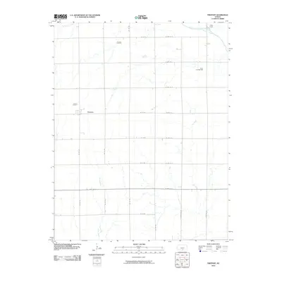
2010 Map of Freeport
USGS Topo · Published 2010About this map
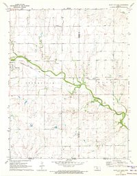
The small community of Freeport serves as the focal point of this Harper County landscape, situated along the path of State Hwy 44. The area is defined by a dense grid of rural roads, including NE 100 Ave and W 50th St S, which section off the agricultural plots characteristic of this part of southern Kansas. Local history is anchored at the Freeport Cemetery and the more remote H and S Cemetery, located further north near the intersection of NE 120 Ave and NE 60 Rd.
Find a feature on this map
30 named features on this map. Tap any name to fly to it.
Don’t see what you’re looking for? This feature index may not catch every label — zoom into the map to look around manually.
Map Details
Editions of this 2010 Freeport Map
This is the sole edition of this map. No revisions or reprints were ever made.
Other maps of this area

1889 · Caldwell
USGS Topo · 1:125,000

1893 · Caldwell
USGS Topo · 1:125,000

1897 · Caldwell
USGS Topo · 1:125,000

1955 · Wichita
USGS Topo · 1:250,000

1958 · Wichita
USGS Topo · 1:250,000

1971 · Caldwell NW
USGS Topo · 1:24,000
1971 · Bluff City West
USGS Topo · 1:24,000
1971 · Argonia
USGS Topo · 1:24,000
1971 · Danville
USGS Topo · 1:24,000
1971 · Bluff City East
USGS Topo · 1:24,000