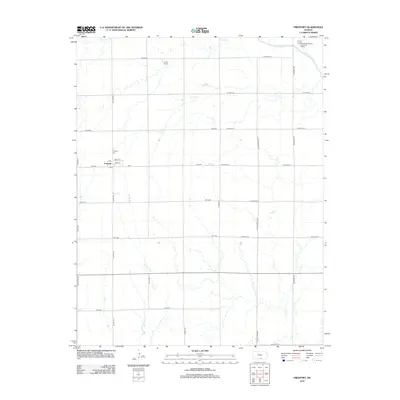
2012 Map of Freeport
USGS Topo · Published 2012About this map
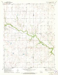
Freeport serves as the primary hub of activity in this Harper County landscape, organized along a small grid of streets including Main St, 1st St, and 2nd St. The town center includes a local Post Office and is bordered by agricultural fields defined by an extensive section-line road network. The surrounding prairie is drained by several waterways, most notably the Chikaskia River in the northeast corner and the meandering courses of Sand Creek, Fall Creek, and Spring Branch. For genealogists and local historians, the presence of the Freeport Cemetery and the more remote H and S Cemetery provides valuable spatial context for late 19th and early 20th-century family records. Modern infrastructure is also present, marked by the Argonia Wastewater Treatment Facility situated along the northern riverbank.
Find a feature on this map
35 named features on this map. Tap any name to fly to it.
Don’t see what you’re looking for? This feature index may not catch every label — zoom into the map to look around manually.
Map Details
Editions of this 2012 Freeport Map
This is the sole edition of this map. No revisions or reprints were ever made.
Other maps of this area

1889 · Caldwell
USGS Topo · 1:125,000

1893 · Caldwell
USGS Topo · 1:125,000

1897 · Caldwell
USGS Topo · 1:125,000

1955 · Wichita
USGS Topo · 1:250,000

1958 · Wichita
USGS Topo · 1:250,000

1971 · Caldwell NW
USGS Topo · 1:24,000
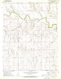
1971 · Bluff City West
USGS Topo · 1:24,000
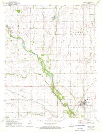
1971 · Argonia
USGS Topo · 1:24,000
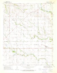
1971 · Danville
USGS Topo · 1:24,000
1971 · Bluff City East
USGS Topo · 1:24,000