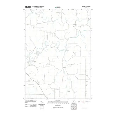
2010 Map of Freeport
USGS Topo · Published 2010About this map
The Upper Iowa River winds through this landscape east of Decorah, anchoring a region of deeply carved valleys and river crossings. Small settlements like Freeport and Nasset dot the road network, while the uplands are defined by long-established rural institutions. This map is particularly notable for its density of burial sites, which reveal the nineteenth-century family and denominational roots of Winneshiek County. From the Canoe Ridge Lutheran Cemetery in the north to the Teslow Farm Cemetery and Pontoppidan Cemetery in the southeast, these landmarks provide a clear record of local genealogy and land ownership. Modern infrastructure, including the Decorah Municipal Airport, contrasts with the older spatial patterns established along the Trout River and Canoe Creek. Public land use is evident at the Canoe Creek Access Area and Trout River Access Area, preserving the riverfront for recreation and conservation.
Find a feature on this map
64 named features on this map. Tap any name to fly to it.
Don’t see what you’re looking for? This feature index may not catch every label — zoom into the map to look around manually.
Map Details
Editions of this 2010 Freeport Map
This is the sole edition of this map. No revisions or reprints were ever made.
Other maps of this area

1906 · Decorah
USGS Topo · 1:125,000

1958 · La Crosse
USGS Topo · 1:250,000

1961 · La Crosse
USGS Topo · 1:250,000

1965 · La Crosse
USGS Topo · 1:250,000
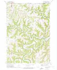
1971 · Dorchester
USGS Topo · 1:24,000
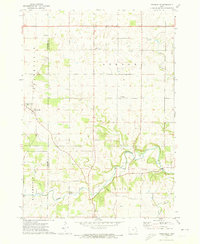
1971 · Frankville
USGS Topo · 1:24,000
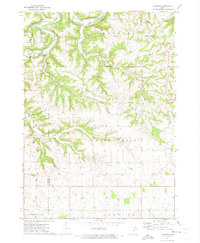
1971 · Hanover
USGS Topo · 1:24,000

1975 · Decorah 4 NW
USGS Topo · 1:24,000

1975 · Decorah 1 NW
USGS Topo · 1:24,000

1975 · Decorah 1 SW
USGS Topo · 1:24,000