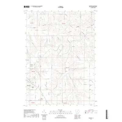
2018 Map of Freeport
USGS Topo · Published 2018About this map
Freeport and the northeastern fringes of Decorah sit at the heart of this Winneshiek County landscape, where the Upper Iowa River winds through deeply carved valleys. This area is notably dense with small, localized burial grounds that speak to the early settlement patterns of the region, including the North Washington Prairie Cem and the Canoe Ridge Lutheran Cem. The topography is defined by the convergence of several waterways, including Canoe Creek and the Trout River, which create a complex system of ridges and bottoms.
Find a feature on this map
83 named features on this map. Tap any name to fly to it.
Don’t see what you’re looking for? This feature index may not catch every label — zoom into the map to look around manually.
Map Details
Editions of this 2018 Freeport Map
This is the sole edition of this map. No revisions or reprints were ever made.
Other maps of this area

1906 · Decorah
USGS Topo · 1:125,000

1958 · La Crosse
USGS Topo · 1:250,000

1961 · La Crosse
USGS Topo · 1:250,000

1965 · La Crosse
USGS Topo · 1:250,000
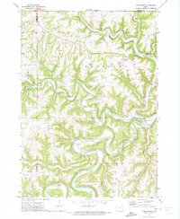
1971 · Dorchester
USGS Topo · 1:24,000
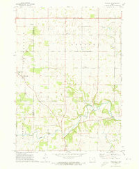
1971 · Frankville
USGS Topo · 1:24,000
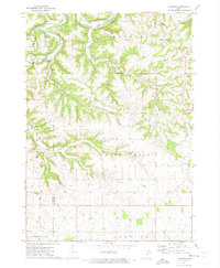
1971 · Hanover
USGS Topo · 1:24,000

1975 · Decorah 4 NW
USGS Topo · 1:24,000

1975 · Decorah 1 NW
USGS Topo · 1:24,000

1975 · Decorah 1 SW
USGS Topo · 1:24,000