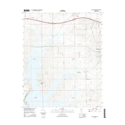
2015 Map of Frees Corners
USGS Topo · Published 2015About this map
The waters of Arkabutla Lake dominate the southwestern portion of this landscape, where the boundary between DeSoto Co and Tate Co follows the original path of the Coldwater River. On the higher ground to the east, the historic city of Hernando marks the map's northeastern corner, showing a pattern of residential growth extending toward Spring Hill Cem. The rural character of the central area is defined by a network of local roads such as Horn Lake Rd and Robertson Rd, connecting small settlements and landmarks like Pleasant Hill, Frees Corners, and the Robinson Gin. The drainage patterns of Mussacuna Creek and Hurricane Creek carve through the terrain, illustrating the hydrologic connection to the larger reservoir system. Modern aviation and infrastructure are represented by the Hernando Village Airpark, Inc and the primary highway corridors that bridge these rural communities.
Find a feature on this map
61 named features on this map. Tap any name to fly to it.
Don’t see what you’re looking for? This feature index may not catch every label — zoom into the map to look around manually.
Map Details
Editions of this 2015 Frees Corners Map
This is the sole edition of this map. No revisions or reprints were ever made.
Other maps of this area

1908 · Lake Cormorant
USGS Topo · 1:24,000

1912 · Lake Cormorant
USGS Topo · 1:31,680

1932 · Horn Lake
USGS Topo · 1:48,000

1932 · Crenshaw
USGS Topo · 1:62,500

1935 · Crenshaw
USGS Topo · 1:62,500

1935 · Horn Lake
USGS Topo · 1:62,500

1944 · Senatobia
USGS Topo · 1:62,500

1944 · Hernando
USGS Topo · 1:62,500

1948 · Helena
USGS Topo · 1:250,000

1950 · Helena
USGS Topo · 1:250,000