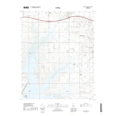
2018 Map of Frees Corners
USGS Topo · Published 2018About this map
The western edges of Hernando anchor the landscape of this 2018 survey, where suburban expansion meets the agricultural heritage of DeSoto County. This portion of the county is defined by its transition from the hills of North Mississippi down toward the basin of Arkabutla Lake. The map illustrates a network of drainage systems including Hurricane Creek and Mussacuna Cr, which feed the sprawling lake to the south. Historically significant nodes like Deans Corner, Frees Corners, and the Robinson Gin site provide evidence of the area's deep-rooted farming community.
Find a feature on this map
71 named features on this map. Tap any name to fly to it.
Don’t see what you’re looking for? This feature index may not catch every label — zoom into the map to look around manually.
Map Details
Editions of this 2018 Frees Corners Map
This is the sole edition of this map. No revisions or reprints were ever made.
Other maps of this area

1908 · Lake Cormorant
USGS Topo · 1:24,000

1912 · Lake Cormorant
USGS Topo · 1:31,680

1932 · Horn Lake
USGS Topo · 1:48,000

1932 · Crenshaw
USGS Topo · 1:62,500

1935 · Crenshaw
USGS Topo · 1:62,500

1935 · Horn Lake
USGS Topo · 1:62,500

1944 · Senatobia
USGS Topo · 1:62,500

1944 · Hernando
USGS Topo · 1:62,500

1948 · Helena
USGS Topo · 1:250,000

1950 · Helena
USGS Topo · 1:250,000