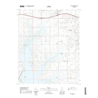
2020 Map of Frees Corners
USGS Topo · Published 2020About this map
Hernando serves as a focal point in this portion of DeSoto County, where the transition from residential streets to the expansive waters of Arkabutla Lake is clearly documented. The landscape is defined by the drainage systems of Hurricane Creek and Mussacuna Creek, which feed into the reservoir's northern reaches. Historical markers of the rural economy remain visible through labels like Robinson Gin, reflecting the area's agricultural roots even as modern developments like the Hernando Village Airpark, Inc appear on the outskirts of the main settlement.
Find a feature on this map
76 named features on this map. Tap any name to fly to it.
Don’t see what you’re looking for? This feature index may not catch every label — zoom into the map to look around manually.
Map Details
Editions of this 2020 Frees Corners Map
This is the sole edition of this map. No revisions or reprints were ever made.
Other maps of this area

1908 · Lake Cormorant
USGS Topo · 1:24,000

1912 · Lake Cormorant
USGS Topo · 1:31,680

1932 · Horn Lake
USGS Topo · 1:48,000

1932 · Crenshaw
USGS Topo · 1:62,500

1935 · Crenshaw
USGS Topo · 1:62,500

1935 · Horn Lake
USGS Topo · 1:62,500

1944 · Senatobia
USGS Topo · 1:62,500

1944 · Hernando
USGS Topo · 1:62,500

1948 · Helena
USGS Topo · 1:250,000

1950 · Helena
USGS Topo · 1:250,000