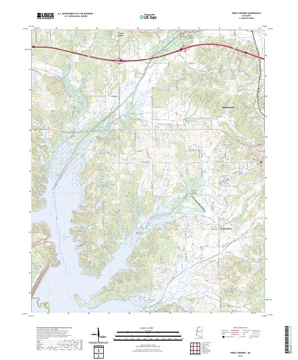
2024 Map of Frees Corners
USGS Topo · Published 2024About this map
Hernando serves as a primary anchor in this contemporary landscape, where residential growth meets the rural expanses of northern Mississippi. The map reveals a transition from the structured street grid of the town, featuring Spring Hill Cem, to the expansive waters of Arkabutla Lake in the southwest. This area is defined by its drainage systems, with Hurricane Creek, Mussacuna Creek, and Cane Creek carving through the terrain towards the lake basin. Smaller historic nodes such as Deans Corner and the industrial site of Robinson Gin persist alongside modern developments like the Hernando Village Airpark, Inc. The southern edge of the sheet marks the significant border between DeSoto and Tate Counties, illustrating the geographic reach of the lake's northern reaches.
Find a feature on this map
74 named features on this map. Tap any name to fly to it.
Don’t see what you’re looking for? This feature index may not catch every label — zoom into the map to look around manually.
Map Details
Editions of this 2024 Frees Corners Map
This is the sole edition of this map. No revisions or reprints were ever made.
Other maps of this area

1908 · Lake Cormorant
USGS Topo · 1:24,000

1912 · Lake Cormorant
USGS Topo · 1:31,680

1932 · Horn Lake
USGS Topo · 1:48,000

1932 · Crenshaw
USGS Topo · 1:62,500

1935 · Crenshaw
USGS Topo · 1:62,500

1935 · Horn Lake
USGS Topo · 1:62,500

1944 · Senatobia
USGS Topo · 1:62,500

1944 · Hernando
USGS Topo · 1:62,500

1948 · Helena
USGS Topo · 1:250,000

1950 · Helena
USGS Topo · 1:250,000