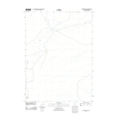
2012 Map of Freighter Gap
USGS Topo · Published 2012About this map
Freighter Spring and Chicken Springs serve as critical water points in this arid stretch of Sweetwater County, anchoring a landscape defined by significant topographic shifts. The northern reaches are drained by Jack Parnell Cr and Bush Cr, while the southern terrain is dominated by the dramatic descent into Split Rock Canyon. This 2012 survey illustrates a region where movement is dictated by the natural geology of the Bush Rim, with primitive routes like the Bar X Rd and Freighter Gap Rd providing the only modern access through the high desert. The sparse distribution of named springs versus the seasonal nature of the creeks highlights the historical importance of these specific water sources for ranching and overland travel in this part of Wyoming.
Find a feature on this map
8 named features on this map. Tap any name to fly to it.
Don’t see what you’re looking for? This feature index may not catch every label — zoom into the map to look around manually.
Map Details
Editions of this 2012 Freighter Gap Map
This is the sole edition of this map. No revisions or reprints were ever made.
Other maps of this area

1954 · Rock Springs
USGS Topo · 1:250,000

1955 · Lander
USGS Topo · 1:250,000

1958 · Lander
USGS Topo · 1:250,000

1958 · Rock Springs
USGS Topo · 1:250,000

1958 · Twelvemile Well
USGS Topo · 1:62,500

1958 · Freighter Gap
USGS Topo · 1:62,500

1958 · The Pinnacles
USGS Topo · 1:62,500

1958 · Superior
USGS Topo · 1:62,500

1961 · Lander
USGS Topo · 1:250,000

1962 · Rock Springs
USGS Topo · 1:250,000