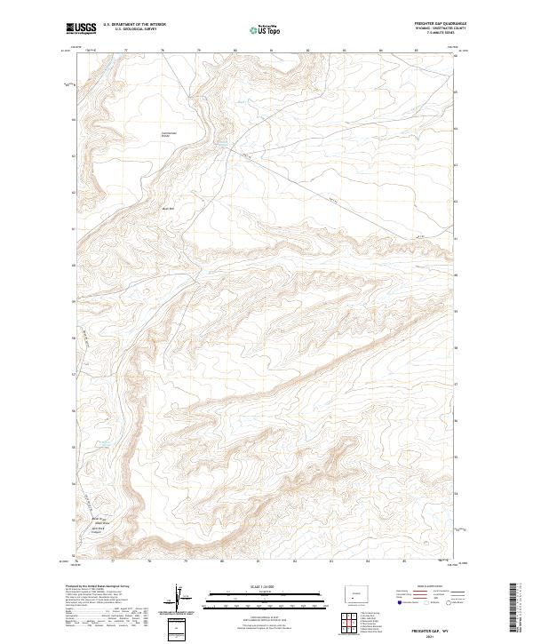
2021 Map of Freighter Gap
USGS Topo · Published 2021About this map
The Continental Divide bisects this high-altitude landscape in Sweetwater County, where the topography of the Bush Rim defines the western horizon. This is a region shaped by scarce water sources and transit through the high desert, evidenced by named watering points like Chicken Springs and Freighter Spring. These springs provided critical relief for travelers and livestock moving through the corridor now traced by Freighter Gap Rd.
Find a feature on this map
16 named features on this map. Tap any name to fly to it.
Don’t see what you’re looking for? This feature index may not catch every label — zoom into the map to look around manually.
Map Details
Editions of this 2021 Freighter Gap Map
This is the sole edition of this map. No revisions or reprints were ever made.
Other maps of this area

1954 · Rock Springs
USGS Topo · 1:250,000

1955 · Lander
USGS Topo · 1:250,000

1958 · Lander
USGS Topo · 1:250,000

1958 · Rock Springs
USGS Topo · 1:250,000

1958 · Twelvemile Well
USGS Topo · 1:62,500

1958 · Freighter Gap
USGS Topo · 1:62,500

1958 · The Pinnacles
USGS Topo · 1:62,500

1958 · Superior
USGS Topo · 1:62,500

1961 · Lander
USGS Topo · 1:250,000

1962 · Rock Springs
USGS Topo · 1:250,000