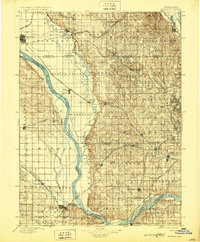
1896 Map of Fremont
USGS Topo · Published 1929About this map
The Platte River and Elkhorn River converge in this 1890s survey, defining a landscape dominated by broad valleys and emerging railroad hubs. The region is a dense network of early Nebraska infrastructure, where the Union Pacific R.R. and the Burlington and Missouri River R.R. bisect agricultural townships like Waterloo and Jefferson. Significant settlements of the era, including the industrial center of Fremont and the riverfront outpost of Blair, are shown in their late nineteenth-century configurations.
Find a feature on this map
82 named features on this map. Tap any name to fly to it.
Don’t see what you’re looking for? This feature index may not catch every label — zoom into the map to look around manually.
Map Details
Editions of this 1896 Fremont Map
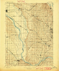
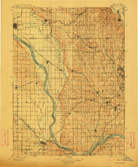
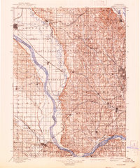
5 editions found
Other maps of this area

1893 · Omaha
USGS Topo · 1:62,500

1893 · Fremont
USGS Topo · 1:125,000

1896 · Fremont
USGS Topo · 1:125,000

1897 · Lincoln
USGS Topo · 1:125,000

1899 · Wahoo
USGS Topo · 1:125,000

1903 · Weeping Water
USGS Topo · 1:125,000

1929 · Weeping Water
USGS Topo · 1:125,000

1935 · Nehawka
USGS Topo · 1:48,000

1940 · Nehawka
USGS Topo · 1:62,500

1954 · Omaha
USGS Topo · 1:250,000