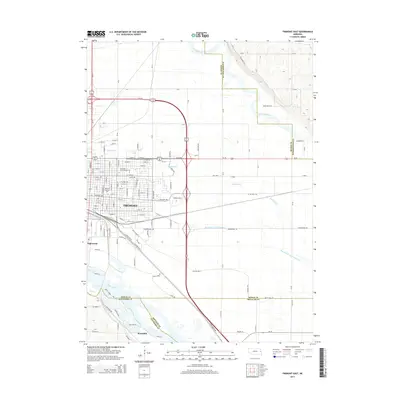
2014 Map of Fremont East
USGS Topo · Published 2014About this map
Fremont anchors this corner of Dodge County, revealing a dense grid of residential and commercial expansion just north of the Platte River. The map details a sophisticated transportation and education corridor, highlighting the campuses of Midland Lutheran Coll and LaJames International Coll. The landscape is defined by the migration of water, showing the intricate path of Rawhide Cr and its Old Channel as they snake toward the Elkhorn River confluence.
Find a feature on this map
104 named features on this map. Tap any name to fly to it.
Don’t see what you’re looking for? This feature index may not catch every label — zoom into the map to look around manually.
Map Details
Editions of this 2014 Fremont East Map
This is the sole edition of this map. No revisions or reprints were ever made.
Other maps of this area

1893 · Fremont
USGS Topo · 1:125,000

1896 · Fremont
USGS Topo · 1:125,000

1899 · Wahoo
USGS Topo · 1:125,000

1955 · Fremont
USGS Topo · 1:250,000

1957 · Fremont
USGS Topo · 1:250,000

1958 · Fremont
USGS Topo · 1:250,000

1966 · Nickerson
USGS Topo · 1:24,000

1966 · Hooper
USGS Topo · 1:24,000

1968 · Valley
USGS Topo · 1:24,000

1968 · Leshara
USGS Topo · 1:24,000