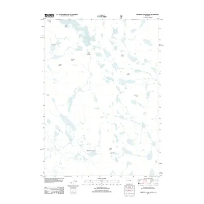
2012 Map of Fremont Peak South
USGS Topo · Published 2012About this map
Fremont Peak and Jackson Peak anchor the northern reaches of this high-altitude landscape, where active ice masses like Bull Lake Glacier and Knife Point Glacier continue to shape the terrain. This 2012 survey documents a complex network of glacial features, including the Harrower Glacier and the aptly named Tiny Glacier, situated among towering summits like Knife Point Mountain and Harrower Peak. The drainage patterns are defined by the Middle Fork Bull Lake Cr and Pole Cr, which feed into numerous alpine water bodies such as Wall Lake, Cook Lakes, and Upper Golden Lake. Strategic mountain crossings, including Indian Pass, Angel Pass, and Hay Pass, provide the only navigable routes through these steep rock formations and basins. The presence of named features like Elephant Head and the Brown Cliffs highlights the distinct geological character of this wilderness area within the Wind River Range.
Find a feature on this map
36 named features on this map. Tap any name to fly to it.
Don’t see what you’re looking for? This feature index may not catch every label — zoom into the map to look around manually.
Map Details
Editions of this 2012 Fremont Peak South Map
This is the sole edition of this map. No revisions or reprints were ever made.
Other maps of this area

1909 · Fremont Peak
USGS Topo · 1:125,000

1938 · Mt Bonneville
USGS Topo · 1:62,500

1941 · Mt Bonneville
USGS Topo · 1:62,500

1942 · Mt Bonneville
USGS Topo · 1:62,500

1952 · Bob Lakes
USGS Topo · 1:24,000

1952 · Alpine Lake
USGS Topo · 1:24,000

1955 · Thermopolis
USGS Topo · 1:250,000

1955 · Lander
USGS Topo · 1:250,000

1958 · Lander
USGS Topo · 1:250,000

1958 · Thermopolis
USGS Topo · 1:250,000