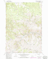
1967 Map of French Gulch
USGS Topo · Published 1985About this map
The Burnt River carves a deep path through this section of Baker County, flowing through a canyon landscape that has long supported both ranching and mineral exploration. The southern portion of the map transitions into the Bridgeport Valley, where the terrain levels out along the banks of Clarks Cr. This area is defined by its water resources, with a high density of named springs such as Mahogany Spring, Fawn Spring, and the series of Ridge Top Springs providing vital water in the high country.
Find a feature on this map
50 named features on this map. Tap any name to fly to it.
Don’t see what you’re looking for? This feature index may not catch every label — zoom into the map to look around manually.
Map Details
Editions of this 1967 French Gulch Map
3 editions found
Other maps of this area

1901 · Baker City
USGS Topo · 1:125,000

1955 · Baker
USGS Topo · 1:250,000

1959 · Baker
USGS Topo · 1:250,000

1964 · Bridgeport
USGS Topo · 1:62,500

1964 · Ironside
USGS Topo · 1:62,500

1967 · Encina
USGS Topo · 1:24,000

1967 · French Gulch
USGS Topo · 1:24,000

1967 · Dooley Mtn
USGS Topo · 1:24,000

1967 · Lost Basin
USGS Topo · 1:24,000
1967 · Bowen Valley
USGS Topo · 1:24,000