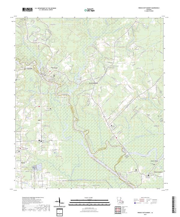
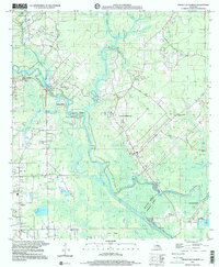
2024 Map of French Settlement
USGS Topo · Published 2024About this map
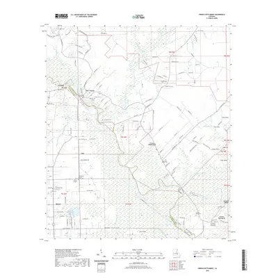
The Amite River carves a winding path through this low-lying region of south Louisiana, serving as the primary boundary between Livingston Parish and Ascension Parish. The landscape is dominated by a complex network of waterways, including Cocodrie Bayou, Colyell Creek, and Willis Bayou, which weave through extensive swamp and wetlands. This area’s historic reliance on river transport is evidenced by the French Settlement Ferry, located near the village of French Settlement. Genealogists will find a high concentration of significant burial grounds and parish landmarks, such as Saint William Catholic Cem and Sacred Heart Catholic Chapel Cem, documenting the long-standing community ties in settlements like Port Vincent, Brignac, and Coteau Bourgeois. The southern portion of the map shows the artificial drainage of the Laurel Ridge Canal, which cuts across the terrain toward Littles Lake.
Find a feature on this map
162 named features on this map. Tap any name to fly to it.
Don’t see what you’re looking for? This feature index may not catch every label — zoom into the map to look around manually.
Map Details
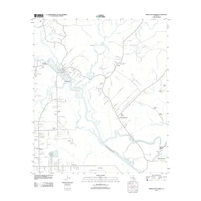
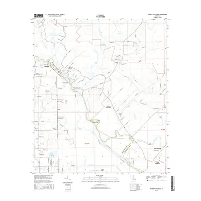
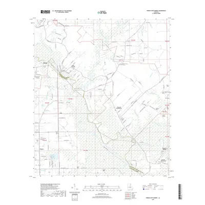
Editions of this 2024 French Settlement Map
This is the sole edition of this map. No revisions or reprints were ever made.
Historical Maps of French Settlement Through Time
9 maps found
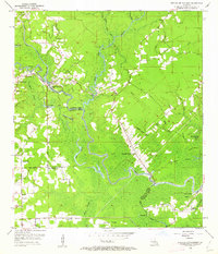
1953 French Settlement
Livingston Parish, LA
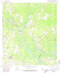
1963 French Settlement
Livingston Parish, LA
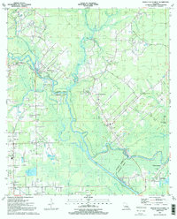
1991 French Settlement
Livingston Parish, LA
1999 French Settlement
Livingston Parish, LA
2012 French Settlement
Livingston Parish, LA
2015 French Settlement
Livingston Parish, LA
2018 French Settlement
Livingston Parish, LA
2020 French Settlement
Livingston Parish, LA
2024 French Settlement
Livingston Parish, LA