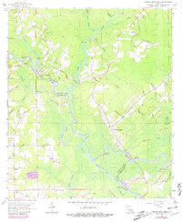
1963 Map of French Settlement
USGS Topo · Published 1981About this map
The Amite River winds through this region of southern Louisiana, defining the boundary between Livingston and Ascension Parishes. The landscape is a dense network of waterways including Colyell Creek, Poley Bayou, and Pierre Bayou, which drain into the river near the community of Port Vincent. This area is characterized by low-lying wetlands and swamps, such as St Amant Swamp, with numerous named points and lakes like Lake Villars and Flat Lake indicating the river's shifting path over time.
Find a feature on this map
63 named features on this map. Tap any name to fly to it.
Don’t see what you’re looking for? This feature index may not catch every label — zoom into the map to look around manually.
Map Details
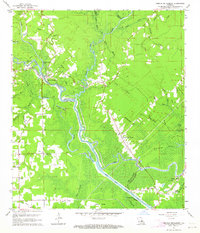
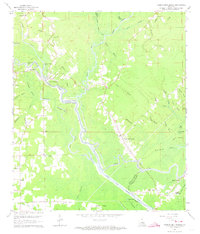
Editions of this 1963 French Settlement Map
3 editions found
Other maps of this area

1892 · Mount Airy
USGS Topo · 1:62,500

1892 · Donaldsonville
USGS Topo · 1:62,500

1934 · Denham Springs
USGS Topo · 1:62,500

1934 · Springfield
USGS Topo · 1:62,500

1935 · Gonzales
USGS Topo · 1:31,680

1939 · Springfield
USGS Topo · 1:62,500

1939 · Denham Springs
USGS Topo · 1:62,500

1939 · Donaldsonville
USGS Topo · 1:62,500

1946 · Petite Amite River
USGS Topo · 1:31,680

1947 · Sorrento
USGS Topo · 1:31,680