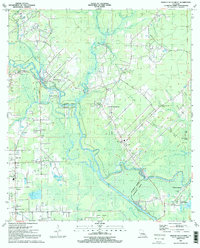
1991 Map of French Settlement
USGS Topo · Published 1991About this map
The Amite River and its intricate drainage network dominate this landscape at the boundary of Livingston Parish and Ascension Parish. The 1991 survey shows the established riverfront communities of Port Vincent and French Settlement, where the economy and culture are closely tied to the water. A complex system of natural and engineered waterways, including the Diversion Canal and Laurel Ridge Canal, reflects local efforts to manage the low-lying wetlands of the Henderson Swamp. Significant local landmarks provide depth for researchers, such as the Indian Mound near King George Island and various community centers like the Lady of the Lake Ch and St Joseph Ch. The map also preserves the locations of numerous family cemeteries, such as the Watson Cem and Wall Cem, alongside small riverine settlements like Head of Island and Coteau Bourgeois.
Find a feature on this map
69 named features on this map. Tap any name to fly to it.
Don’t see what you’re looking for? This feature index may not catch every label — zoom into the map to look around manually.
Map Details
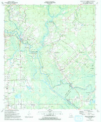
Editions of this 1991 French Settlement Map
2 editions found
Other maps of this area

1892 · Mount Airy
USGS Topo · 1:62,500

1892 · Donaldsonville
USGS Topo · 1:62,500

1934 · Denham Springs
USGS Topo · 1:62,500

1934 · Springfield
USGS Topo · 1:62,500

1935 · Gonzales
USGS Topo · 1:31,680

1939 · Springfield
USGS Topo · 1:62,500

1939 · Denham Springs
USGS Topo · 1:62,500

1939 · Donaldsonville
USGS Topo · 1:62,500

1946 · Petite Amite River
USGS Topo · 1:31,680

1947 · Sorrento
USGS Topo · 1:31,680