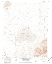
1960 Map of Frenchman Flat
USGS Topo · Published 1983About this map
Frenchman Lake sits at the center of this 1960 survey, a dry playa utilized as a focal point for nuclear testing operations within the Nevada Test Site and Nellis Air Force Range. The map reveals a highly specialized landscape of the Cold War era, marked by a dense concentration of concrete structures and experimental infrastructure. Numerous installations such as the Blast Center, Triple Point Bunker, Kay Blockhouse, and Sugar Bunker are recorded across the flat, connected by an intricate network of desert tracks and the primary Mercury Highway.
Find a feature on this map
28 named features on this map. Tap any name to fly to it.
Don’t see what you’re looking for? This feature index may not catch every label — zoom into the map to look around manually.
Map Details
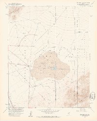
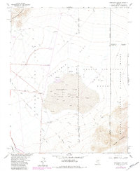
Editions of this 1960 Frenchman Flat Map
3 editions found
Other maps of this area

1907 · Las Vegas
USGS Topo · 1:250,000

1908 · Furnace Creek
USGS Topo · 1:250,000

1908 · Las Vegas
USGS Topo · 1:250,000

1910 · Furnace Creek
USGS Topo · 1:250,000

1942 · Indian Spring
USGS Topo · 1:125,000

1942 · Skull Mountain
USGS Topo · 1:125,000

1948 · Death Valley
USGS Topo · 1:250,000

1952 · Specter Range
USGS Topo · 1:62,500

1952 · Mercury
USGS Topo · 1:62,500
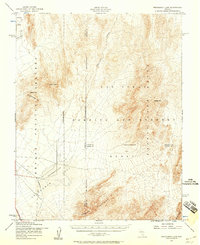
1952 · Frenchman Lake
USGS Topo · 1:62,500