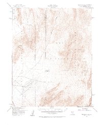
1952 Map of Frenchman Lake
USGS Topo · Published 1964About this map
Nevada Test Site and the Nellis Air Force Range dominate this 1952 study of the southern Nevada desert, capturing a critical landscape at the height of the early Cold War. The map details the restricted topography of the Yucca Flat and Frenchman Flat basins, separated by the prominent French Peak. This area served as the primary continental location for American nuclear testing, indicated here by the presence of the Mercury Highway and the evocative Plutonium Valley.
Find a feature on this map
24 named features on this map. Tap any name to fly to it.
Don’t see what you’re looking for? This feature index may not catch every label — zoom into the map to look around manually.
Map Details
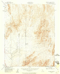
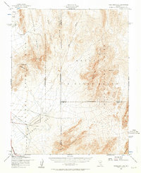
Editions of this 1952 Frenchman Lake Map
3 editions found
Other maps of this area

1907 · Las Vegas
USGS Topo · 1:250,000

1908 · Kawich
USGS Topo · 1:250,000

1908 · Furnace Creek
USGS Topo · 1:250,000

1908 · Las Vegas
USGS Topo · 1:250,000

1910 · Furnace Creek
USGS Topo · 1:250,000

1942 · Emigrant Valley
USGS Topo · 1:125,000

1942 · Indian Spring
USGS Topo · 1:125,000

1942 · Wheelbarrow Peak
USGS Topo · 1:125,000

1942 · Skull Mountain
USGS Topo · 1:125,000

1948 · Death Valley
USGS Topo · 1:250,000