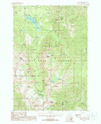
1988 Map of Fridley Peak
USGS Topo · Published 1988About this map
Gallatin National Forest dominates this landscape, where the waters of Hyalite Creek flow north into the Hyalite Reservoir. This high-altitude region in the late 1980s is defined by its recreational infrastructure, featuring numerous sites like Blackmore Campground, Hood Creek Campground, and the Palace Butte Campground. The map traces a complex network of trails and drainage systems, connecting water bodies such as Flanders Lake and Emerald Lake with prominent summits including Fridley Peak and Hyalite Peak.
Find a feature on this map
58 named features on this map. Tap any name to fly to it.
Don’t see what you’re looking for? This feature index may not catch every label — zoom into the map to look around manually.
Map Details
Editions of this 1988 Fridley Peak Map
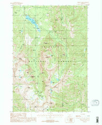
2 editions found
Other maps of this area

1888 · Three Forks
USGS Topo · 1:250,000

1891 · Livingston
USGS Topo · 1:250,000

1893 · Livingston
USGS Topo · 1:250,000

1894 · Three Forks
USGS Topo · 1:250,000

1895 · Three Forks
USGS Topo · 1:250,000

1947 · Bozeman
USGS Topo · 1:250,000

1948 · Bozeman
USGS Topo · 1:250,000

1951 · Bozeman Pass
USGS Topo · 1:62,500

1953 · Bozeman
USGS Topo · 1:62,500

1955 · Bozeman
USGS Topo · 1:250,000