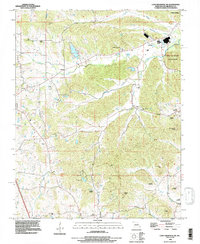
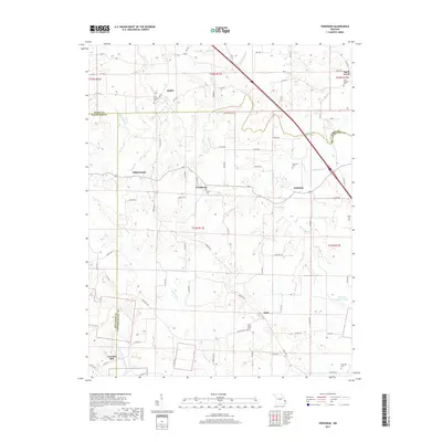
2021 Map of Friedheim
USGS Topo · Published 2021About this map
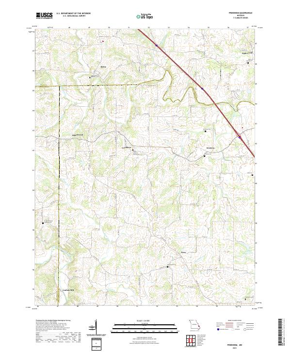
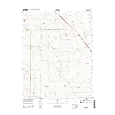
Friedheim and the surrounding rural communities of Biehle, Arnsberg, and Daisy anchor this study of the Missouri landscape at the junction of Cape Girardeau, Perry, and Bollinger counties. The map documents a deeply rooted network of German Lutheran and Catholic heritage, centered on prominent religious sites like the Saint Maurus Catholic Cem and the Trinity Lutheran Church Cem. The topography is defined by the winding drainages of Apple Cr and Little Apple Cr, which carve through the terrain and dictated the early settlement patterns of the region.
Find a feature on this map
122 named features on this map. Tap any name to fly to it.
Don’t see what you’re looking for? This feature index may not catch every label — zoom into the map to look around manually.
Map Details
Editions of this 2021 Friedheim Map
This is the sole edition of this map. No revisions or reprints were ever made.
Historical Maps of Conrads Mill Through Time
17 maps found
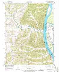
1948 Neelys Landing
Cape Girardeau County, MO
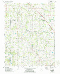
1967 Cape Girardeau NE
Cape Girardeau County, MO
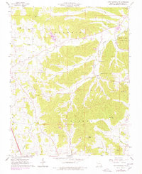
1980 Friedheim
Cape Girardeau County, MO
1993 Cape Girardeau NE
Cape Girardeau County, MO

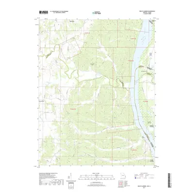
1993 Neelys Landing
Cape Girardeau County, MO
2012 Cape Girardeau NE
Cape Girardeau County, MO
2012 Friedheim
Cape Girardeau County, MO
2012 Neelys Landing
Cape Girardeau County, MO
2015 Cape Girardeau NE
Cape Girardeau County, MO
2015 Friedheim
Cape Girardeau County, MO
2015 Neelys Landing
Cape Girardeau County, MO
2017 Cape Girardeau NE
Cape Girardeau County, MO
2017 Friedheim
Cape Girardeau County, MO
2017 Neelys Landing
Cape Girardeau County, MO
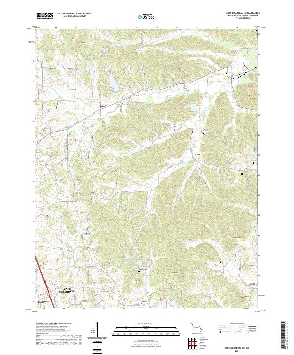
2021 Cape Girardeau NE
Cape Girardeau County, MO
2021 Friedheim
Cape Girardeau County, MO
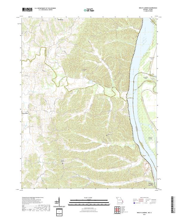
2021 Neelys Landing
Cape Girardeau County, MO